Feature Details


Feature ID	277532
Name	Kelseyville
Class	Populated Place
Feature Code	Unincorporated Place
Location	 Lake County - California

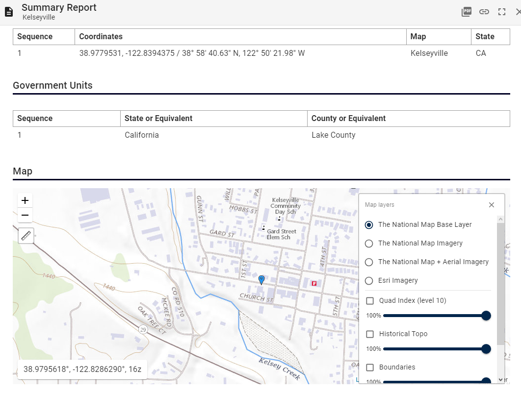
Coordinates: 38.9779531, -122.8394375 /  38° 58' 40.63" N, 122° 50' 21.98" W


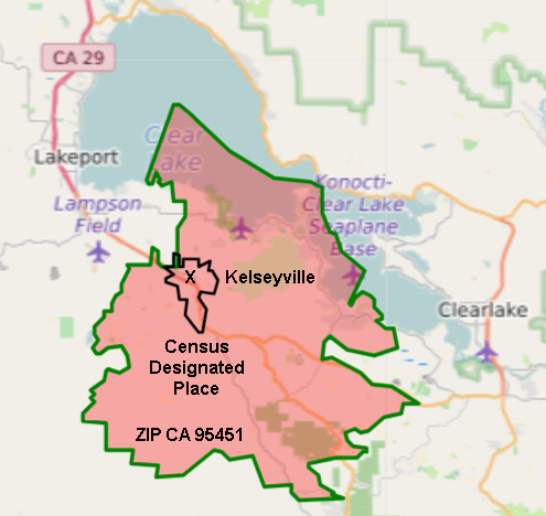
The Center of Kelseyville is marked with "X"
The rough outlines of the Kelseyville Census Designated Place and the Kelseyville Zip code 95451 are also shown.
Major un-incorporated communities within the Zip code include Soda Bay, Buckingham Park, Riviera West, Riviera Estates and Clear Lake Riviera. Mount Konocti is entirely within the 95451 Zip Code.
Note that the name of the Post Office and of the Census Designated Place do not automatically track with the BGN Name, though representatives of both those organizations are on the committee.
Side-note : The Konocti Clear Lake Sea Plane Base is still on the records, though it hasn't been used in that role since the 1950's, when the Pan Am Clipper landed on the lake if San Francisco was fog-bound. The Clearlake airstrip has been built on, but is still used by Medevac helicopters.
